2017:236 - PLUCKANES NORTH, Cork
County: Cork
Site name: PLUCKANES NORTH
Sites and Monuments Record No.: CO051-040
Licence number: 17E0513
Author: Alan Hawkes (Hawkes Archaeological Services)
Author/Organisation Address: 'Melrose' 5 Palmbury, Togher, Cork
Site type: Pit
Period/Dating: Undetermined
ITM: E 553624m, N 585082m
Latitude, Longitude (decimal degrees): 52.015809, -8.675630
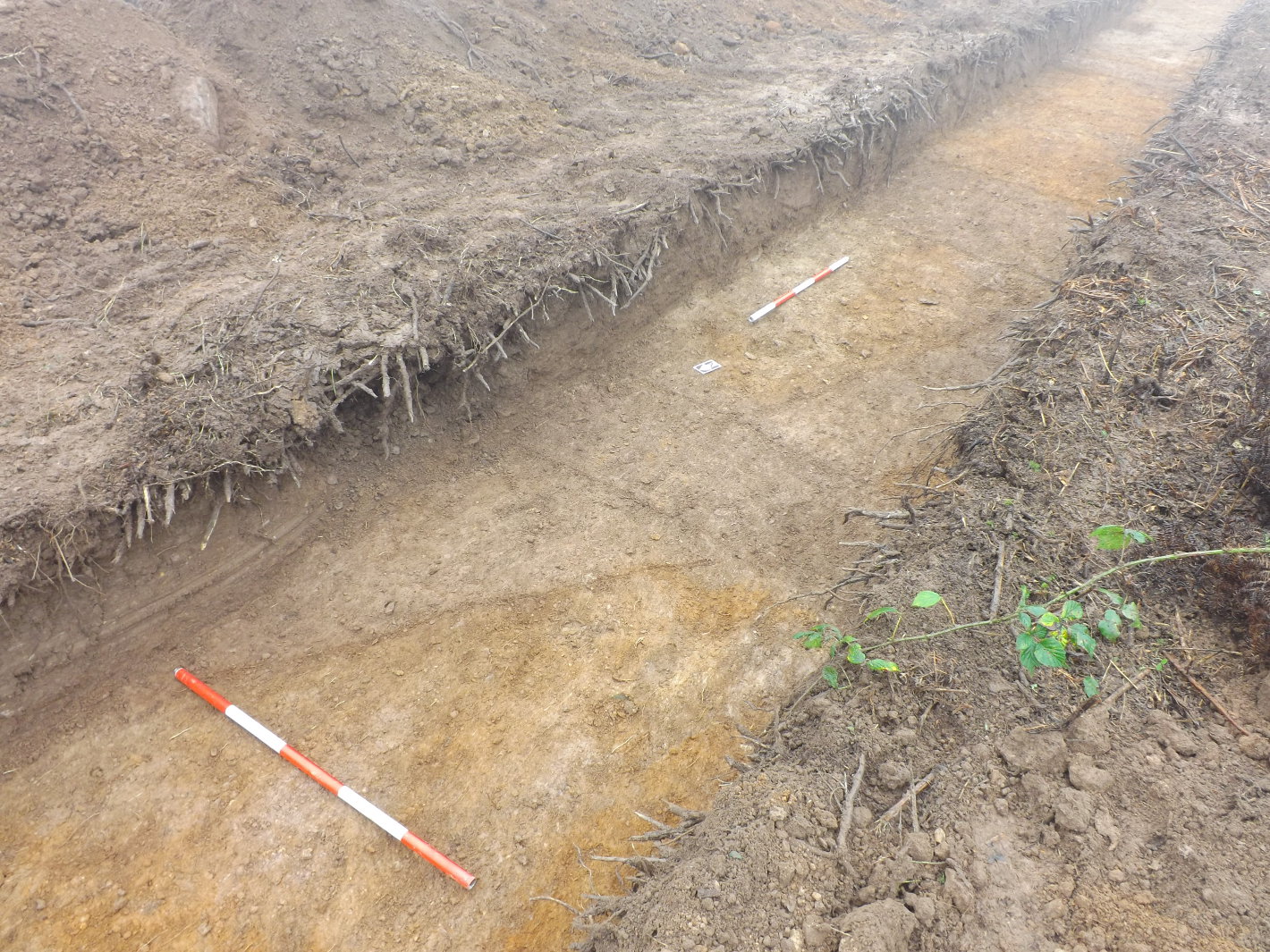
Pre-development testing was undertaken at Pluckanes North, Co. Cork to fulfil a planning application for a proposed two story dwelling and associated garage, septic tank and percolation area. The proposed development is situated within a plot of land to the south-west of a ringfort (CO051-040) that is now levelled with no surface trace. Testing was undertaken on the 18–19 November 2017 using a JCB excavator, with a flat toothless grading bucket, under supervision.
Nine trenches were investigated across the site in three separate areas (A–C). The majority of the features identified during testing were lines of dark silty soil within the orange subsoil. Partial excavation of some suggest they are likely related to early modern ridge and furrow. Some appear evenly spaced and others are consistently shallow, barely penetrated to the depth of the subsoil. The features were orientated north-east/south-west, broadly matching the alignment of present field boundaries.
Features 1, 3 and 4 exposed in Area A are interpreted as the remains of a possible field ditch running north-west/south-east across the three trenches. An examination of the historic mapping indicates that many of the field boundaries in this area changed significantly between 1842 and 1904. In this particular location, the mapping indicates that a pre-1840s field boundary traversed the area running north-west/south-east. The linear feature identified in Trenches 1–3 (Area A) corresponds with the aforementioned field boundary, which appears to have been straightened sometime after 1840. It was therefore, interpreted as non-archaeological.
Two features (F20 and F22) in Trench 9 appeared as pits containing charcoal. Partial investigation of F20 revealed it to be a tree-bole, which is consistent with the area being covered with trees at the time of the first edition historic mapping of the area. F22 comprised a smaller circular deposit of charcoal. Partial investigation suggest that this was either a pit or possible post-hole.
Overall, the majority of features identified in the course of test-trenching are interpreted as representing agricultural furrows, field drains or field boundary ditches of post-medieval/early modern date. One circular feature (F22) is interpreted as a small pit or post-hole and was the only potential archaeological feature identified in the course of testing.
It was recommended that all topsoil stripping associated with the development be monitored. No finds were uncovered during the course of testing.

