2016:496 - RIVER BRIDGE & GLENAMOUGHT RIVER, Cork
County: Cork
Site name: RIVER BRIDGE & GLENAMOUGHT RIVER
Sites and Monuments Record No.: N/A
Licence number: 16D0044 and 16R0044
Author: Rex Bangerter, ADCO
Author/Organisation Address: No. 2, Main Street, Bennettsbridge, Co. Kilkenny
Site type: Industrial site
Period/Dating: Modern (AD 1750-AD 2000)
ITM: E 566348m, N 575038m
Latitude, Longitude (decimal degrees): 51.926444, -8.489285
Underwater Archaeological Impact Assessment (UAIA) of the River Bride and its tributary the Glenamought River. The work was carried out as part of pre-planning conditions associated with the River Bride (Blackpool) Certified Drainage Scheme. The in-water archaeological assessment comprised a 2.5km stretch of the River Bride and a 500m section of the Glenamought River, extending from Kilnap Bridge in the north (upstream extent of study area) to the southern end of the Blackpool Architectural Conservation Area in the south (downstream extent). The assessment recorded riverbed topography and provided a detailed account of the existing riverside environment. On-site work comprised systematic non-disturbance waded inspection of the two river channels, their attendant bank structures, and any associated riverine features, including bridge structures (piers and foundations), weirs, culverts, river-walling, and any natural features encountered. Particular attention was paid to the assessment of two masonry bridge structures, located at Kilnap Glen and Fitz’s Boreen, which are to be removed as part of the proposed drainage scheme. On-site work was carried out between the 3rd and 8th of April 2016, under licence from the DAHRRGA; licence numbers 16D0044 and 16R0044.
The River Bride, including its tributary the Glenamought River, has witnessed successive alteration/adaption of the waterways with the development of milling and other industrial activity in the nineteenth-century. In addition, the area has undergone extensive modern alterations as a result of the twentieth-century development of the surrounding landscape. Cartographic evidence supports the findings from the in-water survey that two substantial sections of the present day River Bride, running adjacent to the Commons Road, are created watercourses of twentieth-century date; running northwest to southeast at a distance of between c. 10m to c. 70m from the original line of river. The historic watercourse has been maintained along the southernmost section of the river, as it flows through Blackpool Village itself. The Glenamought River remains largely unaltered by twentieth-century intervention.
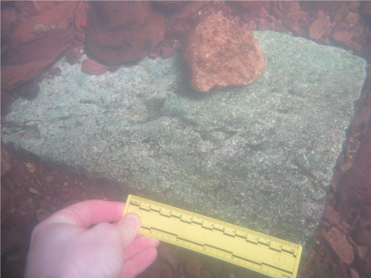
The UAIA identified a series of sixteen known or previously unrecorded features of historic significance within the original courses of the two river channels (Features F01-F16). The features include: four bridge structures (F01, F03, F07, and F09); multiple sections of river walling (F04A/F04B, F08, F10, and F15A/F15B); three masonry culverts (F13, F14/F14B, F16); a rubble stone weir (F05); section of a bridge arch (F11); a masonry culvert arch (F12); a millrace (F07) and the remains of a dam/ weir structure (F02). In addition, numerous cut-stone pieces (CS01-15) were encountered in the riverbed, along the upstream section of the Glenamought River survey area. The masonry pieces are associated with the construction of the Railway Viaduct in 1849 (Feature F03) and other stone-cutting activity that took place within the grounds of Kilnap Glen House in the nineteenth-century. Two further cut-stone pieces were also identified at separate locations along the River Bride (CS16 and CS17).