2016:752 - BELFAST: Pirrie Road, Pirrie House, Antrim
County: Antrim
Site name: BELFAST: Pirrie Road, Pirrie House
Sites and Monuments Record No.: DOW 004:014
Licence number: AE/16/208
Author: Stuart Alexander, Gahan & Long Ltd
Author/Organisation Address: 7-9 Castlereagh Street, Belfast BT5 4NE
Site type: No archaeology found
Period/Dating: N/A
ITM: E 738366m, N 874546m
Latitude, Longitude (decimal degrees): 54.600211, -5.858518
An archaeological evaluation was carried out prior to the proposed construction of a residential development at the site of Pirrie House, Pirrie Road, Belfast.
While no archaeological monuments were identified within the red line boundary, a recorded site, DOW 004:014, is located at the edge of the development area. This site is identified as the location of a 17th-century bridge which was noted by Raven in the Belmont Road–Hawthornden Road area. The bridge is now no longer there.
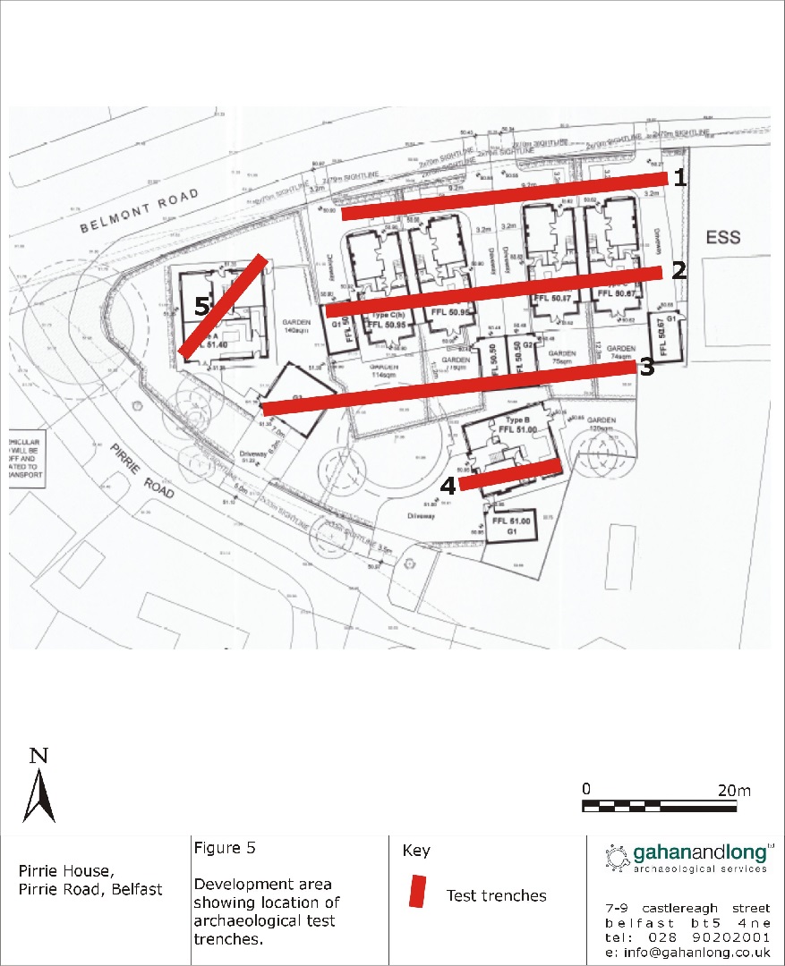
A total of 5 test trenches were excavated by a mechanical digger fitted with a toothless bucket. All trenches were excavated to the level of naturally occurring subsoil, which was a dark grey sleech.
Nothing of archaeological significance was identified within any of the trenches.

