2015:554 - HILL OF LLOYD, People's Park, Meath
County: Meath
Site name: HILL OF LLOYD, People's Park
Sites and Monuments Record No.: ME016-054
Licence number: E004529
Author: Niall Roycroft, c/o Meath County Council
Author/Organisation Address: —
Site type: Hillfort
Period/Dating: Multi-period
ITM: E 672185m, N 776574m
Latitude, Longitude (decimal degrees): 53.733814, -6.905962
Bedrock was exposed approaching the Tower of Lloyd. It seems that the western side of the hilltop had been terraced in the past and this could explain the lack of a visible double ditch here for the hillfort geophysical survey carried out by the Discovery Programme.
Originally forested, when the Tower of Lloyd was built (1791) this forest was partly shaped into a circular ring (int. 175-180m and externally 250m) with the Tower as the centre; the outer face of this ring was partly based on the outer edge of the earlier hillfort. The inner ring line was marked with a bank and a 2m wide (now backfilled) ditch, which was located. The upper ditch fill contained many small stone chippings. A further ‘outer’ oval enclosure 380–400m x 250m follows the 120m contour line around the hilltop.
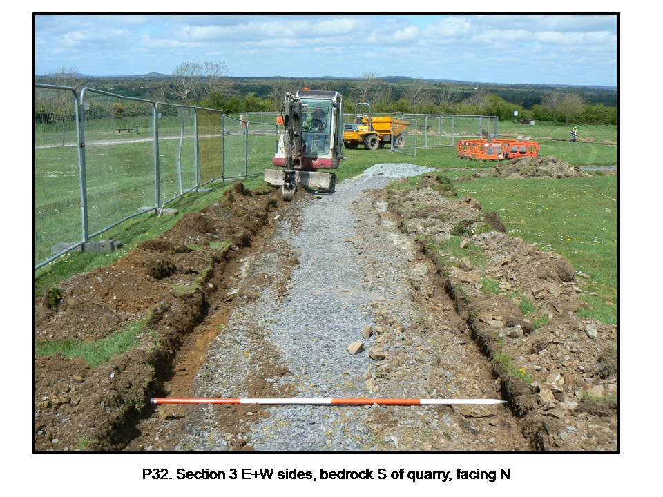
A back-filled quarry shown on the 1837 and 1910 OS maps was located. This quarry was perhaps originally 800–900sq m in extent and may have been used to quarry stone used in the Tower of Lloyd. The upper fill surface was covered with many small stone chippings from on-site stone working and perhaps later field clearance.
A small natural spring was found, consisting an area of leeched subsoil and gravels where the finer silts had been washed away. During a rainy period on site, this spring seemed to still work. There are likely to be other springs/wells on this hill (similar to Hill of Tara etc.)
Ridge and furrow cultivation ridges were oriented east to west. The shallow topsoil and the ridge and furrow cultivation ridges mean that this hilltop has not been mechanically ploughed. Topsoil was 0.2m deep max. across much of the site overlying orange-brown silty clay glacial till; but topsoil was 0.1m where it overlay bedrock. Topsoil showed a conspicuous lack of any artefacts or ecofacts.