2015:539 - DERRKEIGAN: Cloonty Windfarm, Antrim
County: Antrim
Site name: DERRKEIGAN: Cloonty Windfarm
Sites and Monuments Record No.: N/A
Licence number: AE/15/154
Author: Peter Bowen, Gahan & Long Ltd
Author/Organisation Address: 7-9 Castlereagh Street, Belfast BT5 4NE
Site type: No archaeology found
Period/Dating: N/A
ITM: E 696482m, N 935995m
Latitude, Longitude (decimal degrees): 55.161854, -6.485893
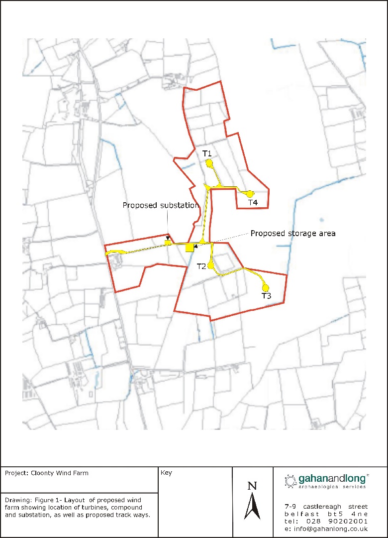
An archaeological evaluation was carried out prior to the proposed construction of a four-turbine wind farm at Cloonty, Derrkeigan, Co. Antrim. The proposed development site is located off the Castlecat Road, which forms the western extent of the wind farm. The northern portion of the site is bounded to the east by Cloonty Wood, and the majority of the site consists of rough pasture and areas of tree planting.
This phase of work included the monitoring of the access roads to T1 and T4 and the associated crane pads and hard standing (see plate). Drainage works along the side of the access road were also monitored. The monitoring was carried out using a mechanical excavator equipped with a smooth-edged bucket.
Nothing of archaeological significance was identified during the monitoring of removal of topsoil.