2015:520 - RANDALSTOWN: Lands approximately 185m south-west 178 Staffordstown Road, Antrim
County: Antrim
Site name: RANDALSTOWN: Lands approximately 185m south-west 178 Staffordstown Road
Sites and Monuments Record No.: N/A
Licence number: AE/15/218
Author: Chris Lynn, Gahan & Long Ltd.
Author/Organisation Address: 7-9 Castlereagh Street, Belfast BT5 4NE
Site type: No archaeology found
Period/Dating: N/A
ITM: E 703873m, N 886886m
Latitude, Longitude (decimal degrees): 54.719309, -6.387701
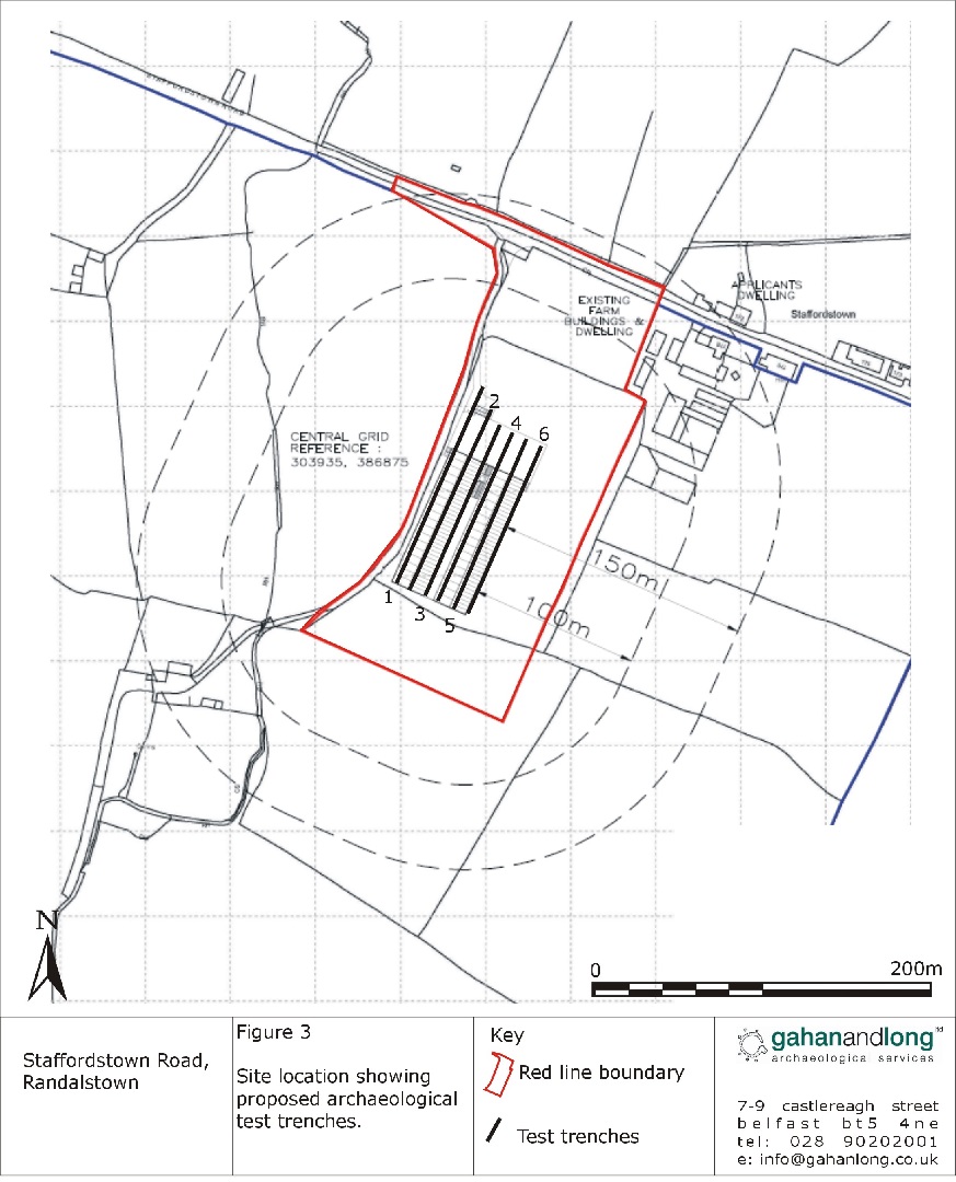
An archaeological evaluation was carried out ahead of the proposed construction of 2 Broiler Poultry Sheds on lands approximately 185m south-west of 178 Staffordstown Road, Randalstown.
A total of 6 test trenches were excavated using a back-acting machine fitted with a toothless bucket.
A single layer of topsoil was removed from the trenches with a depth of 0.3–0.6m. This directly overlay naturally occurring subsoil which primarily consisted of a compact orange clay interspersed with bands of compacted gravels.
No archaeological deposits were identified during the course of the evaluation.