2014:438 - BALLYLEGAN, Cork
County: Cork
Site name: BALLYLEGAN
Sites and Monuments Record No.: Within 500m of of CO027-182-01 a circular enclosure, CO027-182-02 a ring ditch, CO027-182-03 a circular enclosure, CO027-181 a ring ditch, CO027-175 a circular enclosure, CO027- 164 a circular enclosure, CO027-006 a ringfort
Licence number: 14E0180
Author: Linda Lynch, Munster Archaeology
Author/Organisation Address: Ballymacredmond, Butlerstown, Bandon, Co. Cork
Site type: Structure, Pit and Burnt spread
Period/Dating: Multi-period
ITM: E 574562m, N 606440m
Latitude, Longitude (decimal degrees): 52.209143, -8.372199
This site was subject to a pre-development impact assessment, including testing. The proposed development comprised a single dwelling house and associated works. However, at the time of the AIA the layout of the site had not been finalised and, as such, the whole 0.22ha of the site was tested. The site is within 500m of a number of RMPs. These include CO027-007— a castle, CO027-182-01 a circular enclosure, CO027-182-02 a ring ditch, CO027-182-03 a circular enclosure, CO027-181— a ring ditch, CO027-175— a circular enclosure, CO027-164— a circular enclosure, and CO027-006— a ringfort. None of these have any upstanding remains. The proposed development would neither have a physical or visual impact on the known archaeological monuments.
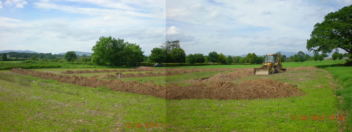
Five trenches were opened across the site, which was rectangular in plan, and measured 67m north-west/south-east by 33.5m. Each trench measured 1.5m in width. No archaeological features were uncovered in Trenches 1 (55m), 3 (20m), and 4 (20m). In Trench 2, which measured 20m in length and was located at the south-eastern end of the site, two possible stake-holes and a charcoal-rich deposit were uncovered near the south-western end of the trench. There had been significant disturbance in this area due to deep digging (1m) associated with the laying of a modern water pipe. In Trench 5, which measured 55m and ran parallel to the south-western boundary of the site, a possible pit was uncovered near the south-eastern end of the trench. This circular feature measured 0.4m in diameter and was uncovered 0.5m below current ground level. This suggests that the southern corner of the site may have previously unrecorded archaeological features. All possible archaeological features, as well as infilled field drains and other agricultural features, were recorded and the trenches were backfilled. The report recommended a buffer zone be established around the possible archaeological features prior to the finalising of the layout of the site and monitoring of the groundworks associated with any further development of the site may still be required.