2014:604 - LISDARAN, Cavan
County: Cavan
Site name: LISDARAN
Sites and Monuments Record No.: CV020-058
Licence number: 14E0134
Author: Dominic Delany, Dominic Delany & Associates
Author/Organisation Address: Creganna, Oranmore, Co. Galway
Site type: Ringfort - rath
Period/Dating: Early Medieval (AD 400-AD 1099)
ITM: E 641502m, N 806181m
Latitude, Longitude (decimal degrees): 54.003193, -7.366947
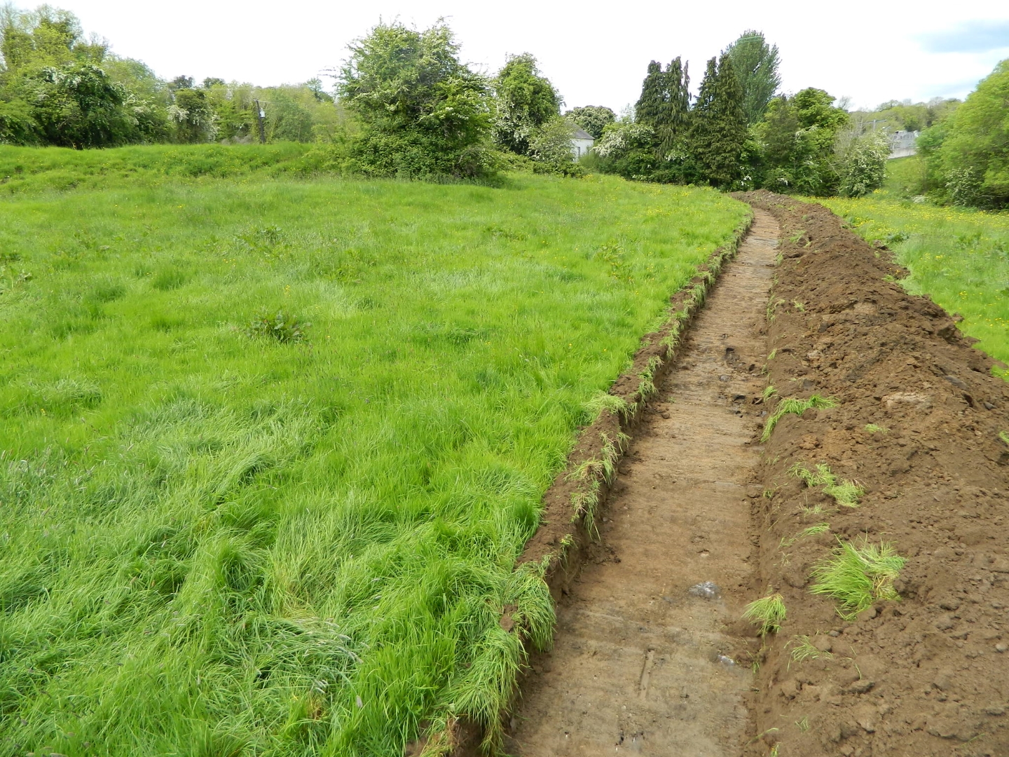
Pre-development testing was carried out along the route of a proposed pipeline within the area of archaeological constraint for CV020-058 (Ringfort) at Lisdaran, Co. Cavan on 24 May 2014. The well-preserved ringfort consists of a raised circular area enclosed by two earthen banks with intervening fosse. The development, part of the Cavan Sewerage Scheme, involves the excavation of a pipe trench within a 30m corridor between the monument on the west and the Cavan River on the east. The new pipeline has to be located west of the existing pipeline which is 12m from the riverbank, and a 10m buffer has to be maintained from the edge of the recorded monument to the east.
A single test trench (length 92m, width 1.4m) was opened along the pipeline route. The stratigraphy was uniform with 0.3m of grey/brown silt topsoil over light grey/brown and yellow/brown clayey silt subsoil. Occasional outcrops of soft, brittle grey shale rock were exposed just below the subsoil. An east-west linear feature (width 1.4m) was uncovered in the area between the monument and the river. A small section cutting revealed a compact fill of grey/brown silt (minimum thickness 0.3m), from which a piece of waste flint and a couple of small fragments of burnt bone were recovered. In order to determine the extent of the feature and any other archaeological material in the area, it was agreed that the wayleave through the area of archaeological constraint should be completely stripped of topsoil in advance of any development works.
Monitoring of topsoil strip within the area of archaeological constraint was carried out on 3 and 4 June 2014. The previously-recorded linear feature was found to extend 5m from the west edge of the wayleave and was truncated by the cut for the existing pipeline at the east edge of the wayleave. Three additional features were identified to the south of the linear feature, within the same general area between the monument and the river. The second feature comprised a small sub-circular hearth/firespot (diameter 0.6m), the third a vaguely-defined curving linear feature (width 1m), and the fourth an irregular-shaped hearth/firespot (1.2m east-west by 0.45-1m). The archaeological features were covered with geotextile sheeting pending excavation.