2006:2214 - TURTULLA, Tipperary
County: Tipperary
Site name: TURTULLA
Sites and Monuments Record No.: TN041-079
Licence number: 06E960
Author: Ken Curran & Tori McMorran
Author/Organisation Address: Rose Cottage, Templemore Road, Cloughjordan, Co. Tipperary
Site type: Water mill - unclassified
Period/Dating: Post Medieval (AD 1600-AD 1750)
ITM: E 613354m, N 656934m
Latitude, Longitude (decimal degrees): 52.663478, -7.802585
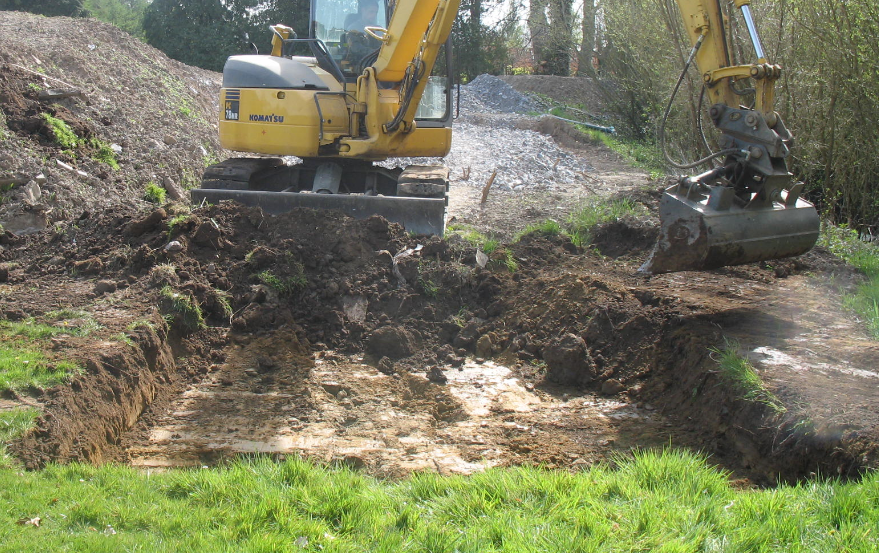
Monitoring was undertaken at Thurles Golf Club following recommendations made in an assessment commissioned as a condition of planning (Ref 06510767). Work being undertaken comprised the sinking of a well, the construction of a water storage tank (42m sq) and ancilliary ground works. The location of this work is adjacent to a mill race associated with a possible 17th-century flour mill, of which no subsurface remains are visible.The mill site is on ground adjacent to the north-east boundary of the golf course and between the mill race and the Suir River. Monitoring was undertaken in advance of excavation under 06E960, and again during construction in April 2007 (06E960 ext). No features, material or deposits of an archaeological nature were discovered during the course of work. Immediately below the topsoil was a thin layer of alluvial sand below which the natural comprised sand with stone and gravel inclusions typical of a floodplain location.