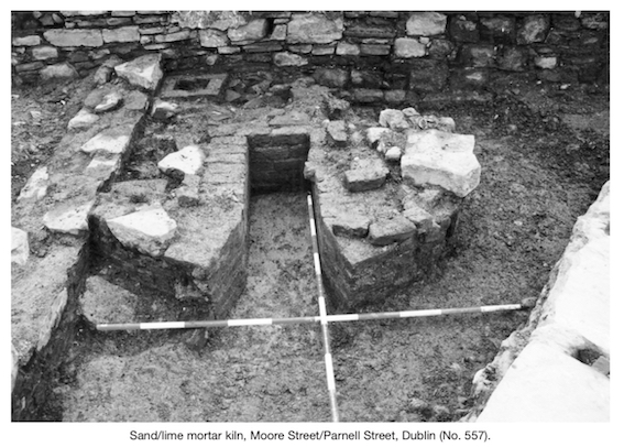
County: Dublin Site name: DUBLIN: Moore Street/Parnell Street
Sites and Monuments Record No.: N/A Licence number: 98E0357
Author: Edmond O’Donovan, Margaret Gowen & Co. Ltd.
Site type: House - 18th century
Period/Dating: Modern (AD 1750-AD 2000)
ITM: E 715647m, N 734862m
Latitude, Longitude (decimal degrees): 53.351317, -6.262920
Excavations were carried out on a block at the north-eastern corner of Moore Street and Parnell Street between January and April of 2003. Four principal phases of activity were identified.
The first phase was medieval, where a thin deposit of topsoil represented the cultivated lands either within or immediately outside the ‘Abbey Parke’ of St Mary’s Abbey. The second phase of activity relates to the use of the site as a brickfield. The brickfield is likely to have been associated with the construction of Sackville Mall by Luke Gardiner and dates from the first half of the 18th century. Some early buildings are likely to have been built fronting onto O’Rahilly Parade during this stage, such as a house with a triangular fireplace. The third and principal phase of activity on the site dated between 1750 and 1770, when the site was extensively built over with the construction of substantial Georgian houses fronting onto Parnell Street (formerly known as Great Britain Street); this involved the laying out of nine property plots running north–south, parallel to Moore Street and to O’Rahilly Parade (formerly known as Sackville Lane).
The final phase of activity relates to the occupation of the site down to the present day and includes alterations to the existing buildings and the piecemeal addition of new buildings within the site.
The site was developed in the mid-18th century by two developers, Nathaniel Clements and Robert Ball. Nos 58–66, fronting onto Parnell Street, were the first site plots to be laid out. These plots extended back the entire depth of the block from Parnell Street to Sackville Place, running in a north–south direction. The property development system utilised along Great Britain Street was one where speculative tradesmen constructed the house after purchasing the lease from larger developers, in this case the Gardiner family. A similar arrangement surrounds the construction of the house around Parnell Square (formerly Palace Row). Bartholomew Mosse acquired the lease of land at Parnell Square in 1748, opening pleasure gardens to the public in 1750 to fund the erection of the Rotunda Hospital, on which construction commenced in 1751. Speculative tradesmen who acquired formal property plots from the Mosse family from the mid-18th century onwards constructed many of the houses built around Parnell Square. No. 20 Parnell Square was built by the plumber T. Sherwood, who acquired the site in 1765 and completed the building in 1769. No. 21 was built by J. Reid, a bricklayer who acquired the site in 1760 and completed the building in 1771.
The remains of a number of property boundaries revealed on the site are consistent with those recorded on the early editions of the OS and John Rocque’s map of the city published in 1756. The principal buildings on the site appear to date from the early 1750s, when Robert Ball, a carpenter, built Nos 58, 59 and 61. The excavations and associated survey of the post-medieval walls on-site has highlighted the building continuity evident from Rocque’s time through to the 1980s.

2 Killiney View, Albert Road Lower, Glenageary, Co. Dublin