1999:545 - BRAGANSTOWN, Louth
County: Louth
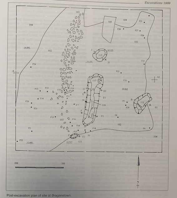
Site name: BRAGANSTOWN
Sites and Monuments Record No.: N/A
Licence number: 97E0475 ext.
Author: Cóilín Ó Drisceoil, for Valerie J. Keeley Ltd.
Author/Organisation Address: 6 Riverview, Ardnore, Kilkenny
Site type: Fulacht fia
Period/Dating: Prehistoric (12700 BC-AD 400)
ITM: E 703349m, N 794481m
Latitude, Longitude (decimal degrees): 53.889432, -6.427781
A burnt spread was discovered during monitoring of topsoil-stripping associated with the construction of the Dunleer–Dundalk Motorway. Excavation took place from 26 April to 17 May 1999.
An area 10m x 10m was identified for excavation. The burnt spread was a hard, black, sandy silt with frequent angular, disaggregated stones, ash and charcoal. Initial examination of the stone suggests that red sandstone formed the bulk of the deposit. Ploughing and machine disturbance had severely levelled the deposit to a subrectangular shape and a depth of 0.2m. It measured 8.4m x 4.56m. When the burnt spread was removed, a hearth, a trough and two pits were revealed beside an area of rough paving.
The hearth was subcircular, 0.11m deep x 0.92m x 0.78m, and filled with charcoal and burnt stone. It lay 1.45m to the north of the trough. This was trapezoidal in plan, 0.45m deep x 3.5m x 0.8m. The base of the trough was lined with a tangentially split oak plank (wood identification by Ellen O’Carroll), some of which had decayed. A slight protruding ‘lip’ on the top of the west side of the trough suggests that the sides may also have been wood-lined. The trough was filled with soft, black, clayey silt with frequent disaggregated stone, ash and charcoal.
Two pits were also investigated, one to the south and the other on the east side of the trough. The latter was oval in plan and ‘stepped’ in section. It was 0.43m deep and 1.51m x 0.97m. The pit was filled with friable, light grey, sandy silt, charcoal, ash and burnt stones. The former pit was oval, 0.3m deep and 0.41m x 0.38m. Again, this was filled with ash and burnt stone. The trough and pits all truncated a compact, light grey/brown, sandy silt. Disturbance of the burnt spread above had compressed a large quantity of burnt stone into this deposit.
Thirty-three flint artefacts were recovered from this deposit, including a leaf-shaped arrowhead, a barbed and tanged arrowhead, three round scrapers and two cores. The remaining flints consisted of primary flakes and debitage. The artefactual evidence suggests that this was the ‘occupation’ surface, the colour and composition of which may have been changed over time by leachate from the burnt mound above.
A large quantity of unburnt stones was deposited along the west side of the burnt spread. Some of these were placed on top of the surface and may be interpreted as an area of rough paving. Some 60% of the flint artefacts recovered were found close to this paving, suggesting that this was a knapping area. The site produced no other artefacts.
Because the plank recovered from the base of the trough was tangentially split, it was not possible to submit it for dendrochronological analysis. It is hoped, however, that radiocarbon dates will be obtained from charcoal samples recovered.