1996:397 - MULLINGAR: 25 Pearse Street, Westmeath
County: Westmeath
Site name: MULLINGAR: 25 Pearse Street
Sites and Monuments Record No.: N/A
Licence number: 96E0126
Author: Rosanne Meenan
Author/Organisation Address: Roestown, Drumree, Co. Meath
Site type: Structure
Period/Dating: Medieval (AD 400-AD 1600)
ITM: E 643941m, N 753122m
Latitude, Longitude (decimal degrees): 53.526225, -7.337289
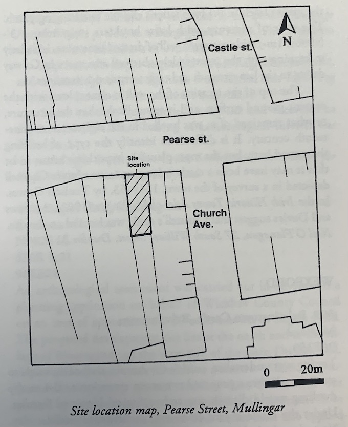
This site is located in an area marked on Robert’s map of Mullingar (1691) as a ‘hay and oats’ store. Monitoring of the construction of a southward extension produced evidence for a possible medieval wall. Excavation of this feature was carried out by Neil O’Flanagan (see Excavations 1996, No. 398).