1996:267 - DROGHEDA: 11 Dyer Street, Louth
County: Louth
Site name: DROGHEDA: 11 Dyer Street
Sites and Monuments Record No.: N/A
Licence number: 96E0165
Author: Deirdre Murphy, Archaeological Consultancy Services Ltd.
Author/Organisation Address: 30 Laurence St., Drogheda, Co. Louth
Site type: Excavation - miscellaneous
Period/Dating: Multi-period
ITM: E 708727m, N 774917m
Latitude, Longitude (decimal degrees): 53.712601, -6.352911
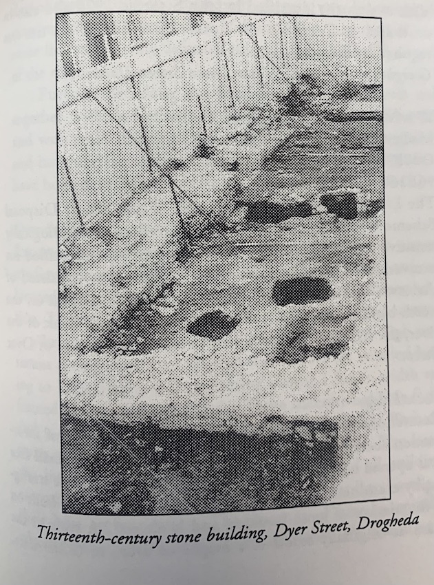
Archaeological testing by trial-trenching of a proposed development at No. 11 Dyer Street, Drogheda, was carried out in June 1996. The site is located on the south side of Dyer Street beside the River Boyne. Three test-trenches were excavated and revealed that significant archaeological deposits existed on this site. Though a basement has destroyed deposits to a depth of 1.6m in the south-west corner of the site, substantial deposits exist further east. A cobbled laneway ran down the centre of this site from Dyer Street towards the river and sealed earlier medieval and post-medieval features. The laneway would appear to be of post-medieval date and a similar date may be inferred for the basement in the south-west corner. Medieval deposits exist at a depth of 0.6m and extend at least to a depth of 1.88m in the south-eastern part of the site to the east of the laneway. These layers may be nothing more than made-up ground, but they are of medieval and early post-medieval date.