1994:238 - POLLAGH, CO. GALWAY,, Galway
County: Galway
Site name: POLLAGH, CO. GALWAY,
Sites and Monuments Record No.: SMR GA068-071
Licence number: E1073
Author: MICHAEL HOLLAND
Author/Organisation Address: —
Site type: Graves of indeterminate date
Period/Dating: —
ITM: E 519754m, N 738045m
Latitude, Longitude (decimal degrees): 53.386474, -9.206291
Introduction
In March 1994 an inhumation burial was discovered during land reclamation on a farm near Oughterard, Co. Galway. The burial was situated in a mound, which had originally stood 5m high but had been lowered to a height of 3.8m during the reclamation process. The human remains were not discovered directly through the reclamation, but rain had exposed the top of the skull in one of the sides of the mound. The site was reported to the NMI by the Garda Síochána at Oughterard. Some parts of the skeleton had been disturbed when the site was inspected by the Gardaí. A rescue investigation was carried out by Michael Holland and the human remains were retrieved for examination (Pl. 102).
Location (Fig. 6.13)
The site was in the townland of Pollagh in mid-Galway, approximately 1.5km north-east of Ross Lake and 9km south-east of Oughterard.19 The mound was 10–20m above sea level and was situated in a reclaimed field into which a number of smaller fields have been incorporated. There had apparently not been any surrounding ditch or other feature associated with the mound. The site is known locally as a famine burial ground.
Description of site
The mound had been squared off in the process of reclamation, leaving a prominent raised rectangular area in an otherwise flat field. The remainder of the mound measured
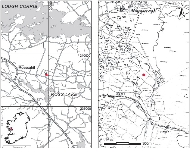
Fig. 6.13—Location map, Pollagh, Co. Galway.
approximately 3.8m by 2.6m and stood approximately 1m high above the field. The grave was located approximately 0.6m below the surface of the mound. No structural stones were noted around the burial. Only the skull (1994:25) was removed and the remainder of the body was left in situ.
Comment
Owing to the circumstances of discovery and the limited nature of the investigation it is not possible to suggest a date for this burial.
19. Parish of Killannin, barony of Moycullen. SMR GA068-071——. IGR 119786 238019.