2024:608 - WEXFORD: 66–68 South Main Street, Peter Street, and Mary’s Lane, Wexford
County: Wexford
Site name: WEXFORD: 66–68 South Main Street, Peter Street, and Mary’s Lane
Sites and Monuments Record No.: WX037-032
Licence number: 24E1268
Author: Yvonne Whitty
Author/Organisation Address: Unit 10 Riverside Business Centre, Tinahely, Co. Wicklow
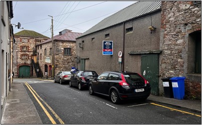
Site type: Historic town
Period/Dating: Medieval (AD 400-AD 1600)
ITM: E 704893m, N 621669m
Latitude, Longitude (decimal degrees): 52.336590, -6.460792
On December 20, 2024, an east-to-west aligned trench was excavated in a building to the south of Peter Street, Wexford. The trench measured 10m in length and 1.2m in width. It was excavated down to the natural ground level (C2), with depths ranging from 0.2m to 0.76m, deepest near South Main Street. The natural ground consisted of compact yellow, stony clay.
The stratigraphy revealed a concrete surface (C1) measuring 0.15m thick, overlying a 20th-century demolition rubble layer (C3). This layer, a black sandy clay containing abundant stones and red brick rubble (C3), was present throughout the trench and reached its maximum depth of 0.56m at the eastern end.
At the western end of the trench, a post-medieval pit was uncovered (C4). It was filled with dark grey silty clay containing frequent red brick fragments, a post-medieval pottery handle, oyster shell, and additional brick debris. The pit extended beneath the northern baulk and was visible for 1.3m east-west by 0.73m.
Additionally, four possible post-holes or small pits (C5–C8) of uncertain date were identified. The largest, C5, had a diameter of 0.25m, while the remaining features were 0.22m in diameter. These features were filled with greyish-brown silty clay. No datable materials were recovered from these features.