2019:603 - FARRANDREG, Louth
County: Louth
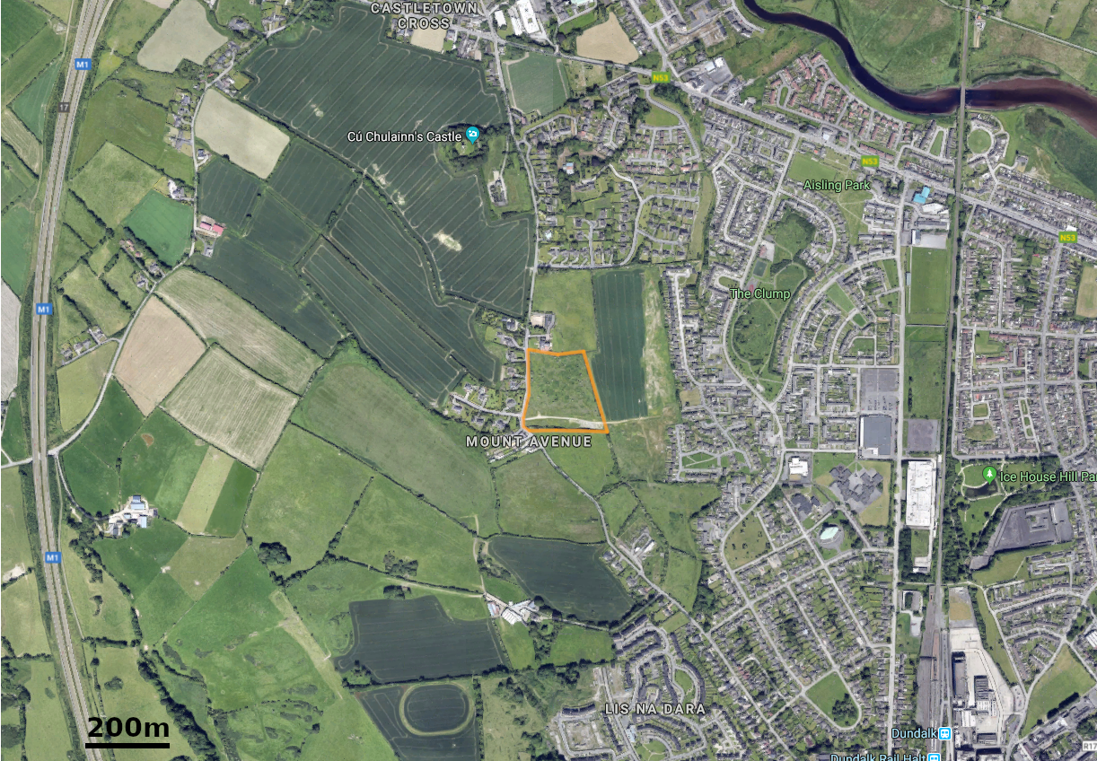
Site name: FARRANDREG
Sites and Monuments Record No.: LH007-121, LH007-125
Licence number: 18E0682
Author: Níall Garahy, Archaeology Plan
Author/Organisation Address: 32 Fitzwilliam Place, Dublin 2
Site type: Fulacht fia
Period/Dating: Bronze Age (2200 BC-801 BC)
ITM: E 703121m, N 807757m
Latitude, Longitude (decimal degrees): 54.008728, -6.426780
Two isolated pits and a ditch of indeterminate date were all identified in the northern half of the field during testing in advance of a planning application for a housing development.
Pit A is a small circular pit, 0.5m in diameter and 0.25m deep. Pit B is irregular in plan with a maximum length of 2m, width of 0.8m and depth of 0.3m. It had a charcoal-rich fill, but no evidence for in situ burning. Ditch C runs north-east/south-west and is 2.1m wide and 0.7m deep. It has three distinct fills. It was not present in any other test trenches. A fourth feature, D, was found to be non-archaeological.
A chert core and a chert scraper were recovered from topsoil in the north-east of the field. The limits of two known fulachtaí fiadh (LH007-121 and LH007-125), that had previously been discovered during monitoring works for a pipeline (Bolger 2000), were also identified near the southern boundary.
Reference
Bolger, T. 2000. Archaeological Excavation of The Farrandreg Drainage system. Preliminary Report. Licence number: 00E0698.