2019:661 - MAIDENHEAD AND BALLYNAGALL, Laois
County: Laois
Site name: MAIDENHEAD AND BALLYNAGALL
Sites and Monuments Record No.: N/A
Licence number: 19E0652
Author: Seán Shanahan & Kate Colbert, Shanarc Archaeology Ltd.
Author/Organisation Address: Unit 39A, Hebron Business Park, Hebron Road, Kilkenny
Site type: Excavation - miscellaneous
Period/Dating: Modern (AD 1750-AD 2000)
ITM: E 664919m, N 684246m
Latitude, Longitude (decimal degrees): 52.905140, -7.034967
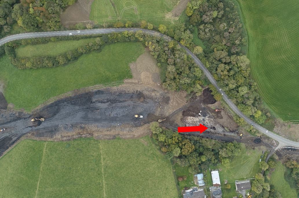
Archaeological monitoring of excavation works associated with the N80 Maidenhead Realignment, County Laois was undertaken over 6 days between 11/10/2019 and 22/10/2019. An associated metal detection survey was carried out under Detection Device Consent No. 19R0224.
Monitoring was carried out to address the archaeological potential of a low-lying pond containing peat deposits straddling the Ballynagall and Maidenhead townland boundary.
The pond was initially highlighted as an area of archaeological potential by Irish Archaeological Consultancy (IAC) in its Archaeological & Built Heritage Assessment report of the Scheme, dated November 2015. The area is described as a pond in a wooded hollow in the IAC report, and is shown as a pond on historic Ordnance Survey maps.
Earthworks were carried out using a mechanical digger with grading bucket, and entailed the removal of mature tree stumps and the lowering of peat deposits in incremental layers. Peat depth ranged from between 0.6m and 2.2m.
No archaeological features, finds or deposits of archaeological significance were identified during the course of monitoring.
A small stone setting or stone pile was exposed in the basal levels of the peat, above the subsoil within the pond area. The stones were spread over an area measuring 2.5m north-south x 1.7m. The feature incorporated numerous small animal bones and a small number of post-medieval and modern finds.