
County: Dublin Site name: Murphystown Castle, Glencairn, Stepaside
Sites and Monuments Record No.: DU023 - 025 Licence number: 17E0120
Author: Red Tobin (on behalf of Courtney Deery Heritage Consultancy)
Site type: Medieval/post-medieval
Period/Dating: —
ITM: E 719489m, N 725571m
Latitude, Longitude (decimal degrees): 53.267005, -6.208755
This test excavation was designed with two distinct goals in mind. Firstly, strategic testing near Murphystown Castle (DU23-025) to define the limits of a buffer zone to protect the integrity of the site. Secondly, a more generalised spread of test trenches across the proposed development site to assess its archaeological potential prior to the planning process. Geophysical survey was not an option on this particular site as the local geology would interfere with the efficacy of the survey data.
The test trenches were excavated within an area of 1808m² around the residence of the British Ambassador to Ireland at Glencairn House. It is planned to develop the site with residential units. All test trenches were excavated using a 10 tonne, 360° tracked excavator with a 1.8m wide grading bucket. The locations of the trenches were accurately marked using GPS. The test excavation was carried out from 19–22 June.
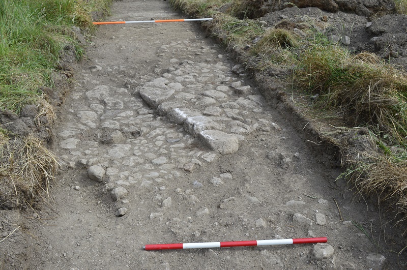
The area to the north and north-east of the castle is a carpet of archaeological features extending at least 60m north and north-east. The exposed surface of this archaeological horizon is defined by predominantly post-medieval pottery forms. This would define the latest occupation of this site as 17th-18th century. However, during the LUAS advanced works in 2006, the CRDS excavation (06E0227) recovered pottery from the 12th -14th centuries. These facts would suggest that the site has been occupied since medieval times and that there is a likelihood that medieval stratigraphy will be represented within the proposed development site.
Trenches were opened to the north-east of Murphystown Castle and extending into the field north of Glencairn House. This area would originally have formed part of the extended planned gardens of Glencairn. The cartographic evidence shows extensive landscape design taking place between 1865 and 1908. This involved the creation of formal gardens, the maze, the trefoil pond/lake and the creation of a network of paths and water features along the stream system to the north of Glencairn, between this property, Rockland to the north and Leopardstown to the north-east. The proposed development on this site offers a perfect opportunity to archaeologically examine and record the design, creation and technologies involved in this garden landscape.
Trenches were also opened in the field that bounds the eastern side of the Ambassador’s Residence. These trenches demonstrated that landscaping work in the latter half of the 19th century extended into this area. However, the south-eastern part of the site does not appear to have been affected during these works as a clear natural soil was easy to define and a feature of possible archaeological origin was noted in this area. The eastern part of the site also displayed a definite 'natural' which again was punctuated by a feature of possible archaeological origin.
RedArc Consulting Ltd, 35 Brook Meadow, Avoca, Co Wicklow


