
County: Donegal Site name: Millbrae, Stranorlar
Sites and Monuments Record No.: DG078-017 Licence number: 15E0134
Author: Steven McGlade
Site type: Fulacht fiadh
Period/Dating: —
ITM: E 615318m, N 894943m
Latitude, Longitude (decimal degrees): 54.802185, -7.761757
A programme of archaeological test-trenching was conducted on the site of a proposed school at Millbrae, Stranorlar, Co. Donegal in April 2015. The site comprises a 1.9ha field bounded to the west by the Mill Brae Road and to the north by a disused railway line and existing properties. There are no archaeological sites listed in the Record of Monuments and Places within the bounds of the site, however, a ringfort in Stranorlar townland (DG078-017) is situated directly across the road from the site, at a distance of some 20m from the site footprint.
As recommended in the desktop assessment for the current development, a programme of archaeological geophysics was carried out on the site (Leigh 2011, Licence No. 11R0078). The geophysical survey identified a number of possible archaeological features, which were investigated during the testing programme.
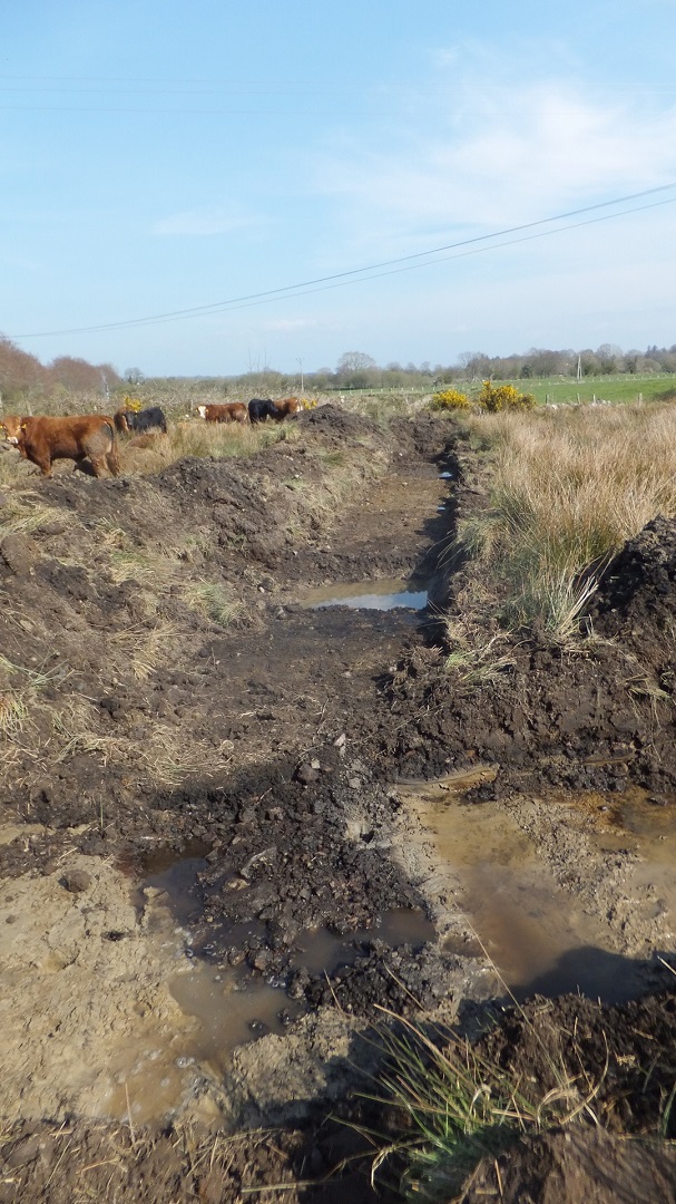
Nine test trenches were opened across the site and twenty-one features were identified and recorded during the assessment, only one of which, a fulacht fiadh, was archaeological in nature. Many of the potential archaeological features identified in the geophysical survey were found to relate to post-medieval drainage, agricultural field divisions and geological anomalies, however one magnetically strong response to the east of the area, interpreted as possibly representing a burnt feature such as a kiln or hearth, was found to correspond with the location of the fulacht fiadh uncovered during the testing programme. The millrace depicted on the First Edition OS map was found to have been heavily truncated and filled with a modern backfill. No features relating to the ringfort to the south-west of the site were identified.
The fulacht fiadh was located in the most waterlogged area of the site, a prime location for this type of feature. It was located towards the north-east of the site and was encountered in two of the trenches of the testing programme. It measured c. 12m north-south by c. 14m and survives as a wide spread of burnt stone and charcoal. The spread was 0.2m below the present ground level and was 0.25m in depth, sealing a minimum of one trough or depression. This was located right at the junction of the two trenches crossing the feature and measured a minimum of 1.2m in length east-west, 0.85m in width and was a minimum of 0.1m in depth below the spread. The part of the trough encountered during the testing was not lined. Further assessment of the fulacht was hampered due to rapid inundation from the boggy ground surrounding the feature. No finds were retrieved from the fulacht fiadh. Further excavation was recommended.
Aileach Archaeology, on behalf of Archaeology Plan, 32 Fitzwilliam Place, Dublin 2


